
Skip to content

Insights

Expert commentary and data-driven analysis on maritime risk, identifying emerging trends and providing actionable intelligence for industry decision-makers.

Latest Insights

Insights

September 5, 2026

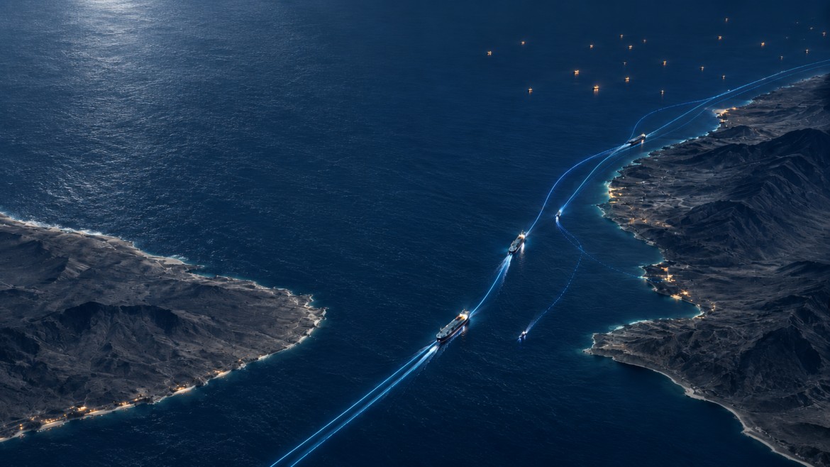
Bab el-Mandeb Shipping: How Houthi Threats Changed Vessel Behaviour

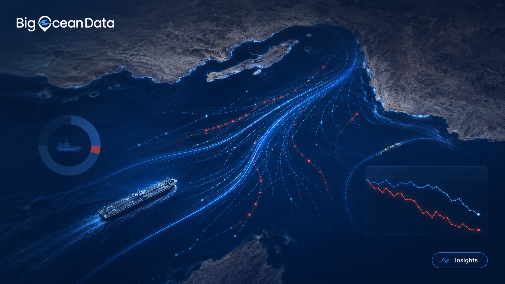
Reseach conducted by BigOceanData for TradeWinds Among the months sampled, traffic through Bab el-Mandeb was highest in July 2026, then fell 18% in August after the Houthis announced a blockade of Saudi shipping. Compared with October 2023, the fleet using the route is markedly older, ships have almost stopped declaring Saudi Red Sea ports, andContinue reading “Bab el-Mandeb Shipping: How Houthi Threats Changed Vessel Behaviour”

Insights

September 1, 2026

Ship Security Alert System (SSAS): a practical guide for operators

What an SSAS actually does, which ships must carry one, where the alert goes when it is pressed, and why most operators discover their weak point during a test rather than an incident. Most SSAS documentation describes a button. That is accurate and almost entirely useless, because the button is the part that works. WhatContinue reading “Ship Security Alert System (SSAS): a practical guide for operators”

Insights

August 17, 2026

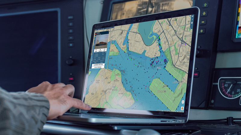
Vessel Geofencing: How to Build AIS Alerts Your Team Will Actually Act On

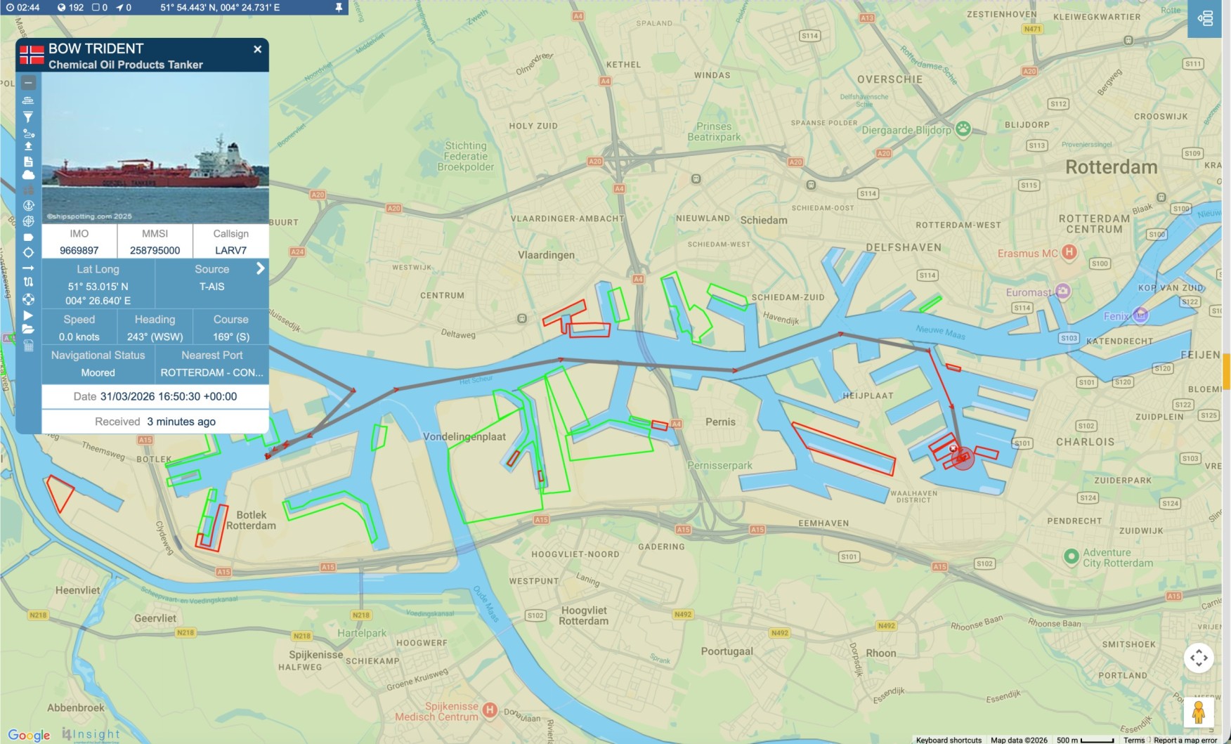
Defining maritime zones, writing alert rules that earn attention, and avoiding the alert fatigue that quietly kills most monitoring set-ups. Vessel geofencing lets a maritime team draw a boundary around a port, anchorage, terminal, coastal region, offshore asset or sensitive area, and be told when a vessel interacts with it. Instead of checking a mapContinue reading “Vessel Geofencing: How to Build AIS Alerts Your Team Will Actually Act On”

Insights

July 22, 2026

We watched every large cargo Ship and Tanker in the Strait of Hormuz for 30 Days

BigOceanData monitored Strait of Hormuz vessel traffic for 30 days, analysing every qualifying cargo ship and tanker observed across the strait and its approaches. The results reveal a maritime corridor operating far outside its normal patterns. On a normal day, the Strait of Hormuz is one of the world’s busiest energy corridors. In January, ourContinue reading “We watched every large cargo Ship and Tanker in the Strait of Hormuz for 30 Days”

Insights

July 9, 2026

Which vessel tracking platform is right for your team? MarineTraffic, VesselFinder, or BigOceanData?

“Should we use you, MarineTraffic or VesselFinder? “ It is a question we are asked directly, and it deserves a straight answer rather than a sales pitch.  The short version: if you are an individual who needs vessel positions, or a business looking for standalone AIS data feeds, VesselFinder is a sensible place to start. If you are a large organisationContinue reading “Which vessel tracking platform is right for your team? MarineTraffic, VesselFinder, or BigOceanData?”

Insights

April 11, 2026

From Live Positions to Better Decisions: The Real Value of Vessel Tracking

Vessel tracking is often reduced to a simple visual: a ship moving across a map. That is useful, but it is not where the real value sits. In practice, the value comes from what a team can decide once that movement is visible, interpretable, and connected to the operational picture around it. In shipping, timingContinue reading “From Live Positions to Better Decisions: The Real Value of Vessel Tracking”