
Insights
August 17, 2026
Vessel Geofencing: How to Build AIS Alerts Your Team Will Actually Act On
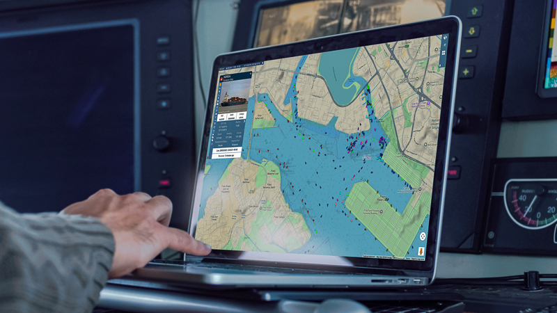
Defining maritime zones, writing alert rules that earn attention, and avoiding the alert fatigue that quietly kills most monitoring set-ups. Vessel geofencing lets a maritime team draw a boundary around a port, anchorage, terminal, coastal region, offshore asset or sensitive area, and be told when a vessel interacts with it. Instead of checking a mapContinue reading “Vessel Geofencing: How to Build AIS Alerts Your Team Will Actually Act On”