
Skip to content

fleet monitoring

Latest fleet monitoring

News

August 26, 2026

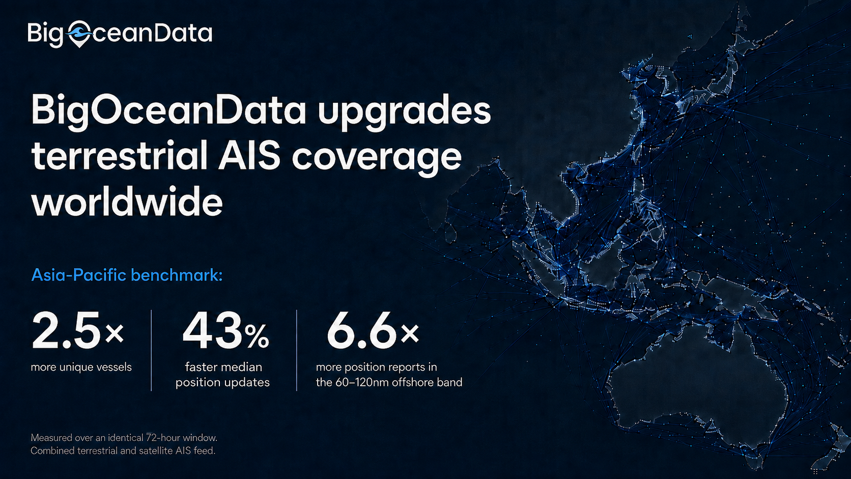
BigOceanData upgrades terrestrial AIS coverage worldwide, more than doubling vessel visibility in coastal waters 

Denser terrestrial coverage strengthens the coastal half of BigOceanData’s combined terrestrial & satellite AIS feed, with an Asia-Pacific sample showing 2.5 times more vessels tracked & position updates arriving 43% sooner. London, 26 August 2026, BigOceanData today announced a significant upgrade to the terrestrial component behind its vessel tracking platform, substantially increasing the number of vesselsContinue reading “BigOceanData upgrades terrestrial AIS coverage worldwide, more than doubling vessel visibility in coastal waters “
Insights

July 22, 2026

We watched every large cargo Ship and Tanker in the Strait of Hormuz for 30 Days

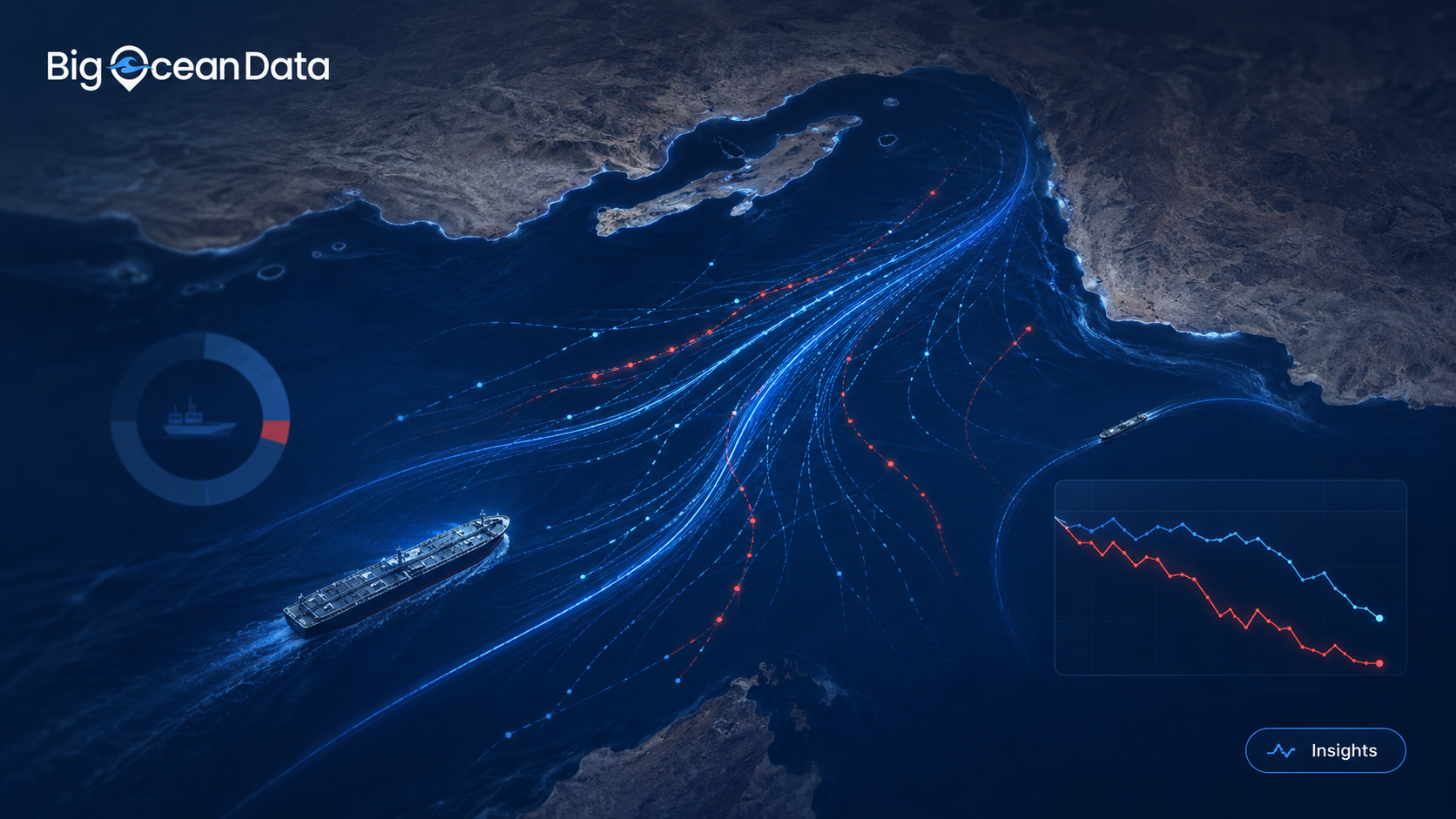
BigOceanData monitored Strait of Hormuz vessel traffic for 30 days, analysing every qualifying cargo ship and tanker observed across the strait and its approaches. The results reveal a maritime corridor operating far outside its normal patterns. On a normal day, the Strait of Hormuz is one of the world’s busiest energy corridors. In January, ourContinue reading “We watched every large cargo Ship and Tanker in the Strait of Hormuz for 30 Days”

Insights

July 9, 2026

Which vessel tracking platform is right for your team? MarineTraffic, VesselFinder, or BigOceanData?

“Should we use you, MarineTraffic or VesselFinder? “ It is a question we are asked directly, and it deserves a straight answer rather than a sales pitch.  The short version: if you are an individual who needs vessel positions, or a business looking for standalone AIS data feeds, VesselFinder is a sensible place to start. If you are a large organisationContinue reading “Which vessel tracking platform is right for your team? MarineTraffic, VesselFinder, or BigOceanData?”

Insights

April 11, 2026

From Live Positions to Better Decisions: The Real Value of Vessel Tracking

Vessel tracking is often reduced to a simple visual: a ship moving across a map. That is useful, but it is not where the real value sits. In practice, the value comes from what a team can decide once that movement is visible, interpretable, and connected to the operational picture around it. In shipping, timingContinue reading “From Live Positions to Better Decisions: The Real Value of Vessel Tracking”